Civil 3D for Global Civil Engineering Practice — Beginner to Intermediate
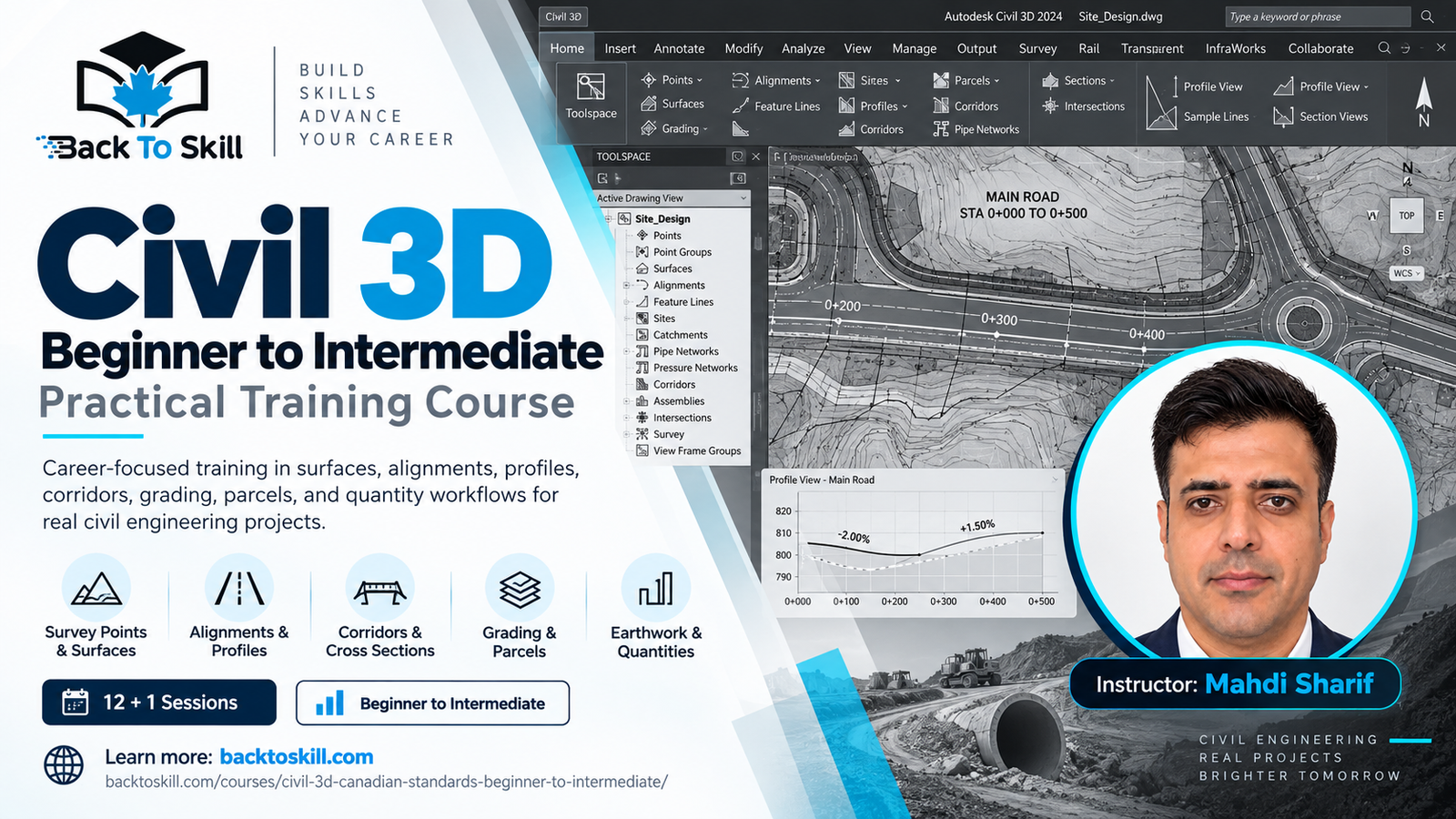
Check current enrollment options at registration.
Autodesk Civil 3D – Beginner to Intermediate
12 Practical Sessions + 1 Complete Final Project
Build practical Civil 3D skills through a structured, project-based course designed for civil engineers, CAD technicians, students, junior designers, and newcomers preparing to work on real civil engineering projects.
This course takes you step by step through the core Civil 3D workflow—from survey data and terrain modeling to alignments, profiles, corridors, grading, parcels, cross-sections, and earthwork calculations.
Instead of learning isolated commands, you will learn how Civil 3D tools and objects work together as part of a complete civil design process.
Learn Civil 3D Through a Real Engineering Workflow
Throughout the course, you will develop practical skills in:
- Survey data and point management
- Existing-ground surface creation and analysis
- Horizontal alignment design
- Existing and proposed profiles
- Assemblies and corridor modeling
- Cross-sections and section views
- Feature lines and grading
- Parcel and site layout
- Earthwork and cut/fill calculations
The course is structured as 12 focused training sessions plus one complete final project session, allowing you to first learn each major Civil 3D workflow individually and then apply everything together in a complete project.
Final Project – From Start to Finish
In the final project session, you will bring together the major skills covered throughout the course and complete a Civil 3D project from initial survey information through design development and final drawing preparation.
The project will also introduce practical North American, European, and Australian civil engineering workflows, drawing practices, and relevant project guidelines, helping you understand how Civil 3D is applied in a real-world North American, European, or Australian project environments.
By the End of This Course, You Will Be Able To
- Navigate and work confidently in Civil 3D
- Import and organize survey data
- Create and analyze terrain surfaces
- Develop horizontal alignments and vertical profiles
- Build assemblies and corridors
- Generate cross-sections
- Perform grading using feature lines
- Create parcels and basic site layouts
- Calculate cut and fill quantities
- Combine Civil 3D objects into a coordinated project workflow
- Complete a practical Civil 3D project from start to finish
Who This Course Is For
- Civil Engineers
- Civil Engineering Students
- CAD Technicians
- Junior Civil Designers
- Land Development Professionals
- Survey and Drafting Professionals
- Newcomers preparing for civil engineering work in North America, Europe, or Australia
Prerequisites
- Basic AutoCAD knowledge
- Access to Autodesk Civil 3D
- Basic familiarity with civil engineering concepts
- No previous Civil 3D experience required
- No previous North American, European, and Australian work experience required
Continue to the Advanced Level and Save 20%
Students who enroll in this Beginner to Intermediate Civil 3D Course are eligible for 20% off the Advanced Civil 3D Course.
For details on claiming this discount, contact support@backtoskill.com before purchasing the Advanced course.
Start with the fundamentals, complete a real project, and continue to the advanced course with 20% off.
12 Sessions + 1 Complete Project. One Practical Civil 3D Workflow.
Learn the tools. Understand the workflow. Apply everything in a complete project.
Course Curriculum
12 Practical Training Sessions + 1 Final Project
Session 1 – Civil 3D Introduction & Project Setup
- Civil 3D Interface, Toolspace & Prospector
- Drawing Settings, Units & Coordinate Systems
- Templates, Styles & Object Management
- Project Setup & Drawing Organization
Session 2 – Survey Points & Point Management
- Importing Survey Data
- Point Groups & Point Organization
- Point & Label Styles
- Editing and Managing Survey Points
Session 3 – Surface Creation & Terrain Modeling
- Creating TIN Surfaces
- Adding Survey Points & Contour Data
- Breaklines
- Surface Boundaries & Editing
Session 4 – Surface Analysis & Terrain Interpretation
- Elevation Analysis
- Slope Analysis
- Surface & Contour Labels
- Surface Editing & Quality Control
Session 5 – Alignments & Horizontal Design
- Creating Alignments
- Tangents & Horizontal Curves
- Stations & Alignment Labels
- Offset Alignments & Editing
Session 6 – Profiles & Vertical Design
- Existing Ground Profiles
- Profile Views
- Proposed Design Profiles
- Grades & Vertical Curves
Session 7 – Assemblies & Typical Cross Sections
- Creating Assemblies
- Lane, Shoulder, Curb & Sidewalk Components
- Daylight & Slope Subassemblies
- Typical Road Cross Sections
Session 8 – Corridor Modeling
- Creating Corridors
- Baselines & Regions
- Corridor Targets
- Corridor Surfaces & Editing
Session 9 – Cross Sections & Section Views
- Sample Lines
- Generating Cross Sections
- Existing vs. Proposed Sections
- Section Views, Labels & Bands
Session 10 – Feature Lines , Grading, and Pond Design
- Creating & Editing Feature Lines
- Elevation & Grade Control
- Slopes & Building Pads
- Grading Surfaces
- Pond Design Essentials
Session 11 – Parcels & Site Layout
- Creating Parcels
- Parcel Layout Tools
- Parcel Areas, Labels & Tables
- Basic Lot & Site Layout
Session 12 – Earthwork & Volume Calculations
- Cut & Fill Volume Surfaces
- Earthwork Calculations
- Surface Comparison
- Quantity Tables & Reporting
+1 Final Project
Session 13 – Complete Civil 3D Project: From Start to Finish
A complete practical Civil 3D project combining the major workflows covered throughout the course, with practical application of relevant North American, European, UAE, and Australian project guidelines and drawing practices.
- 1 Section
- 13 Lessons
- Lifetime
- North American, European & Australian Civil 3D Project — 12 Sessions13
- 1.1Session 1 – Civil 3D Introduction & Project Setup
- 1.2Session 2 – Survey Points & Point Management
- 1.3Session 3 – Surface Creation & Terrain Modeling
- 1.4Session 4 – Surface Analysis & Terrain Interpretation
- 1.5Session 5 – Alignments & Horizontal Design
- 1.6Session 6 – Profiles & Vertical Design
- 1.7Session 7 – Assemblies & Typical Cross Sections
- 1.8Session 8 – Corridor Modeling
- 1.9Session 9 – Cross Sections & Section Views
- 1.10Session 10 – Feature Lines & Grading
- 1.11Session 11 – Parcels & Site Layout
- 1.12Session 12 – Earthwork & Volume Calculations
- 1.13Session 13 – Complete Civil 3D Project: From Start to Finish

Check current enrollment options at registration.